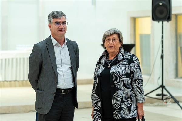
The exhibition of old Adriatic nautical charts “The Sea that Unites: Nautical Charts that Shaped the Image of the Adriatic Sea from the 16th to the 19th Century” was officially opened yesterday evening at the Providur Palace. The exhibition was jointly organised by the Italian Society of Collectors of Old Sea Charts “Roberto Almagià", the University of Zadar and the University of Trieste. It is accompanied by a trilingual publication containing an introductory essay and a catalogue of the maps on display, prepared by the curators of the exhibition and professors from the University of Zadar and the University of Trieste – Orietta Selva, Josip Faričić and Dragan Umek.
The period covered by the exhibition was characterised by profound political changes that significantly altered the political, economic and cultural landscape of the Adriatic, which was characterised by numerous encounters, interactions and conflicts. The nautical charts reflect the gradual development of geographical knowledge of the Adriatic and the progressive refinement of cartographic techniques, which was particularly evident at the beginning of the 19th century, when many charts were produced on the basis of systematic hydrographic surveys.
The exhibition was organised as part of the International Conference on Geoinformation and Cartography and is proof of the fruitful cooperation between the University of Zadar, the University of Trieste and the Italian Society of Collectors of Old Maps “Almagià", named after the renowned historian of cartography, whose valuable scientific achievements were of benefit not only to Italy, but to the whole of Europe, as the Rector of the University of Zadar, Prof. Josip Faričić, Ph.D., emphasised in his welcoming speech.
“For this exhibition, we are greatly indebted to private collectors who have generously allowed us to use the originals of their cards, some of which are unique – there is only one copy of some of these cards in the world. These are great lovers of cartography, geography and the Adriatic, regardless of which shore they come from. It is precisely this passion and the centuries-old historical role of the Adriatic that inspired us to organise the entire exhibition *‘The sea that connects – nautical charts that shaped the image of the Adriatic from the 16th to the 19th century’.
He also thanked all visitors and guests, including the Mayor of Zadar, Šime Erlić, Archbishop Emeritus Msgr. Želimir Puljić, the heads of the institutions associated with the exhibition Vesna Sabolić, Marijana Senkić-Klapan and Ante Gverić, as well as Miljenko Lapaine, the president of the Croatian Cartographic Society, Georg Gartner, the president of the International Cartographic Association, and Maurizio Oliva, the president of the Italian Society of Collectors of Old Maps Almagià, who also spoke.
The maps presented in the exhibition come from different cartographic centres, each using different methods and conceptual frameworks. Despite these differences, they have a common focus: the Adriatic Sea as one of the most important zones of the Mediterranean. It is a sea that connects spaces, the continents of Europe, Africa and Asia and has been one of the most important parts of the Mediterranean over the centuries – a kind of ring that encircles the continents.
The exhibition can be seen on the second floor of the Providur Palace until 29 September.